

Join Wetlands Watch for the world’s largest community science event to capture flood data in coastal Virginia!
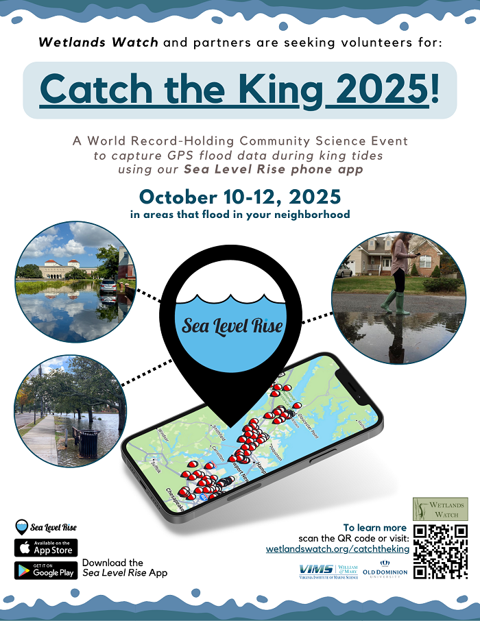 What is Catch the King? Catch the King is an annual event that invites local volunteers to collect data about where tidal flooding occurs during Perigean king tides (highest tides of the year), using a mobile phone app developed by Wetlands Watch called Sea Level Rise. During this season (roughly August-October), water levels are elevated to such a degree that tidal flooding encroaches upon streets and infrastructure in coastal communities. Many of these communities are already facing more intense and frequent flooding issues due to rising sea levels, making the king tide season an especially critical time to collect information that helps us understand what everyday tidal cycles could look like in the future.
Why is Catch the King important? Through partnership with the Virginia Institute of Marine Science (VIMS), Catch the King data is being used to help validate flood prediction models. This data serves as a tool useful to local planners, decisionmakers, and communities to learn more about how flooding impacts them currently, and further inform how to plan and adapt for sea level rise conditions of the future. This program finds immense support through local volunteer groups, classrooms, and environmental organizations to collect this flood data throughout Virginia. Please feel free to check out our website for more information.
How can you be involved? We would love for you to be involved and support our work, whether that be attending a training session, co-hosting a training session, volunteering, donating, or just promoting our program by spreading the word (see flyer and role sheets attached)! If this program building Virginia’s flood risk awareness through community science sounds like something you would like to get involved in, please fill out the Interest Survey for this 2025 Catch the King season.